
Thanks for checking out this month’s edition of our Lens newsletter. See the highlights here and scroll on for all the details!
- 📽️ Upcoming webinar: Monitor watersheds at scale with geospatial data
- 💸 Tasking special offer: Buy two get one free from Airbus
- 👩🏫 Education: How AI agents will impact remote monitoring
- 🌱 Where on Earth: Strange sightings in satellite imagery
If you missed this update in your inbox, be sure to subscribe to stay up to date to the latest product updates, events, and remote monitoring resources.
New webinar
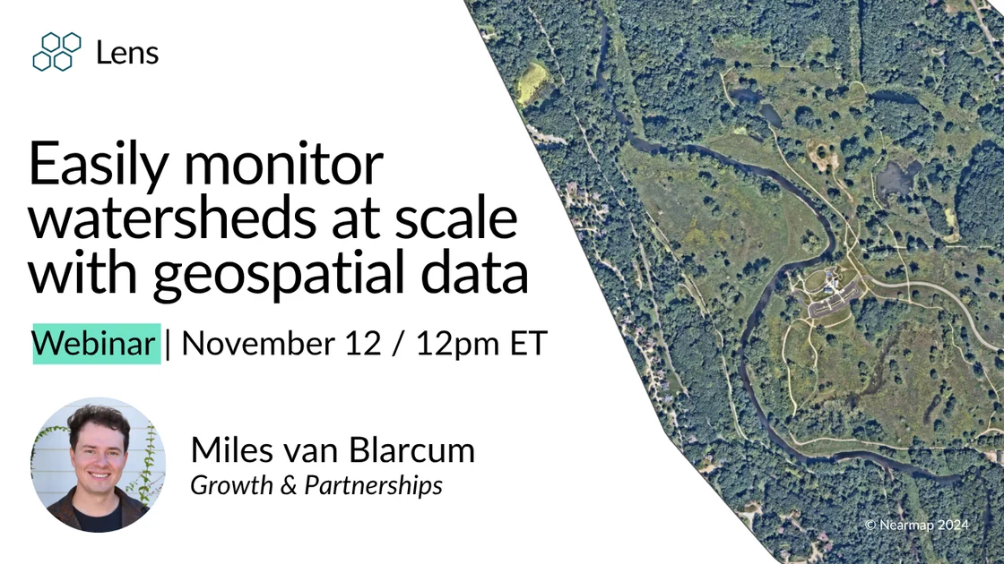
📽️ Easily monitor watersheds at scale
November 12 | 12pm (ET)
Join us next Wednesday to explore how to leverage aerial imagery and tools to conduct watershed monitoring, restoration planning, and flood risk assessment. From understanding hydrological changes to prioritizing fieldwork, Lens makes it easy to visualize surface water trends, monitor riparian buffers, and assess habitat conditions across entire watersheds.
Register
Special offer
💸 Airbus tasking end-of-year promotion
The fall is a great time to task imagery before snowfall arrives, and Airbus is offering a special promotion through the end of the calendar year. For any two tasking orders that are submitted, you will get one free order! If you have special imagery needs, don't wait to get started with Lens!
Education
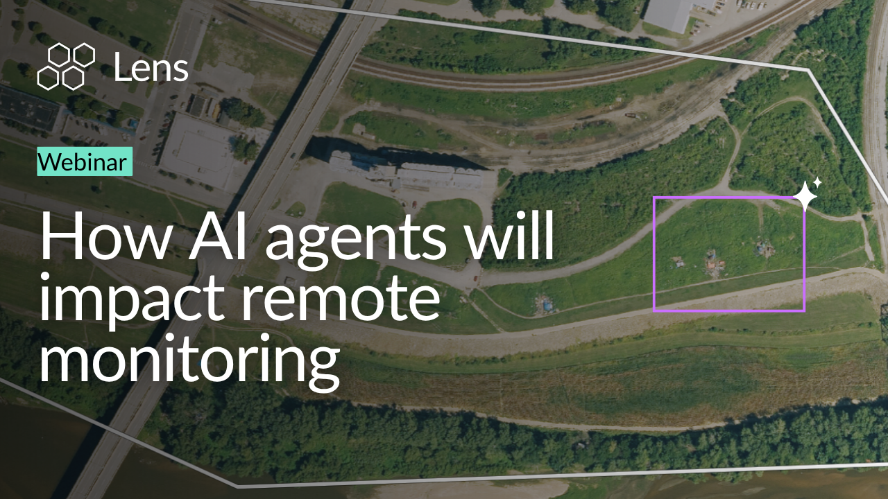
Webinar: How AI agents will impact remote monitoring
Catch the recording of our recent webinar designed for anyone curious about how AI will impact remote monitoring.
Assessing tax parcels with Lens
Check out this case study to streamline property assessment and provide detailed property change detection without leaving the office!
Product updates
⚡ New S2 Quickview in Lookout alerts
Reviewing Lookout alerts is faster than ever with the new S2 Quickview tool! Quickly toggle to any S2 layer you've enabled from the Library directly from the Lookout alert card to review a notification and take action on detected changes.Lens Lookout is available with Standard and Enterprise plans.
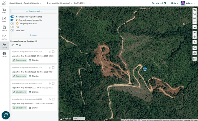
Lens Lookout is available with Standard and Enterprise plans.
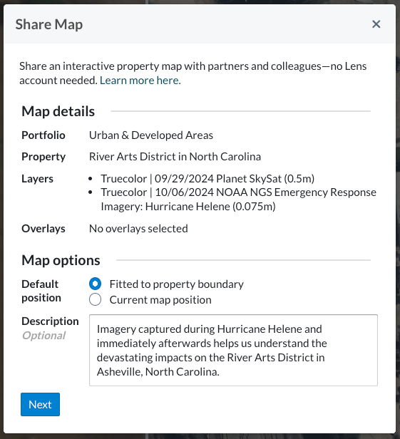
🔗 More options for public share links
Sharing imagery beyond Lens has always been possible, but we've recently expanded the availability of public share links to additional imagery sources. These links can now be generated for custom imagery sources, like tasked imagery, and other public imagery from NOAA and state orthographic imagery programs. Have a custom imagery source you'd like added to Lens? Please reach out!
Where on Earth?
Still hanging onto the spooky energy of Halloween? Check out the Staten Island Boat Graveyard, where dozens of abandoned, decaying ships lay hidden in the tidal marshes. Take a deeper dive in last week's blog post, which covers a variety of strange sightings in satellite imagery.

Check out the rest of our support center to learn more about working in Lens, and know that you can always reach out to us with any questions.
Contact
Happy monitoring!
- Alison & the Lens Team


