
May 6, 2026 · Alison O'Neill
Lens Newsletter: May 2026
Featured
Most recent
Upcoming
Most recent

Rally: The National Land Conservation Conference

National Association of State Trust Lands (NASTL)
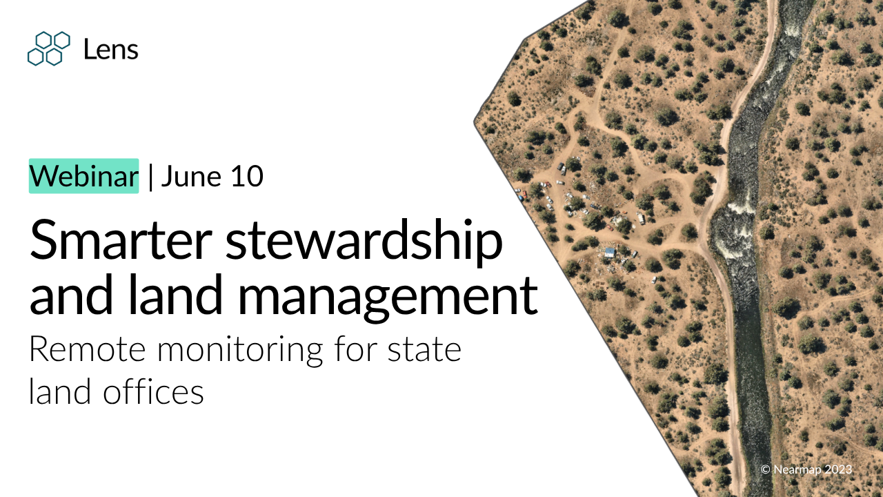
Smarter stewardship and land management for state land offices

Lens Newsletter: June 2026

Forest insights at unprecedented resolution with CTrees data in Lens

Monitoring cheatgrass at scale with Lens

Scaling stewardship: Inside Westervelt's monitoring workflow with Lens

Turning Lens imagery into field-ready maps
Lens Newsletter: May 2026

Environmental Markets Conference
Upstream Tech partners with Colorado State Land Board to modernize land stewardship monitoring
Upstream Tech and CTrees partner to improve access to high-quality forest data

Lens Newsletter: April 2026

Log in, start monitoring: What to expect when you sign up for Lens

North American Carbon World Conference

Webinar: Remote monitoring for African conservation

How the Forest Society uses satellite tasking to scale their stewardship

Lens Newsletter: March 2026

The ROI of remote property monitoring in Washington County

Unlock deeper insights with high-resolution multispectral satellite data

Get started in Lens

Lens Newsletter: February 2026

Access the playbook for remote shoreline monitoring and waterfront compliance

Access the remote monitoring playbook for trespass and encroachment

How to quickly assess storm damage using satellite data with Lens

Lens Newsletter: January 2026

Managing the unexpected: Automated change detection for land and infrastructure monitoring

Lens 2025 year in review

Lens Newsletter: December 2025

Proactive trespass detection

From space to screen: How satellite data gets to you

Scope 3 Innovation Forum USA

Custom change detection in Lens has never been more powerful

How to easily monitor watersheds at scale with geospatial data

Lens Newsletter: November 2025

Scaling remote land monitoring with agentic workflows

VERGE 2025

Strange sightings in satellite imagery

NASCA & NWC Joint Annual Meeting

Lens Newsletter: October 2025

When boundaries shift: How Lens helps you spot parcel area changes

IUCN World Conservation Congress

Assessing tax parcels with Lens

NYC Climate Week

Analyzing flood trends in Tennessee

How AI agents will impact remote monitoring

Beyond the naked eye: Using NDVI to see more in satellite imagery

Efficient, affordable remote monitoring for land trusts

Monitoring development with automated change detection

Lens Newsletter: September 2025

For the love of animals: How remote sensing elevates conservation work

Harnessing remote monitoring for agriculture with Lens

Coming soon: Your automated remote monitoring agent

Understanding satellite imagery resolution

Managing riparian vegetation in Texas

Tracking wildlife poaching with remote monitoring

Making sense of uncertainty in remote forest carbon estimates

Lens Newsletter: August 2025

Exploring the power of high-accuracy land cover data

Access NOAA aerial imagery for damage assessment & disaster response in Lens

Evaluating agriculture at scale in Colorado

Forest carbon data for your entire Lens portfolio

Coastal restoration in South Carolina

Organize your remote monitoring with custom tags in Lens

Lens Newsletter: July 2025

Satellite tasking made easy

Society for Conservation GIS International Conference

Unlock remote monitoring at scale: Portfolio-level impact analysis with Lens

Lens Newsletter: June 2025

Remote monitoring for Canadian conservation

Introducing a new way to monitor at scale

Automated change detection with Lens Lookout

Saving time and strengthening landowner relations with Lens

Lens newsletter: May 2025

Conservation Authority Collaborative Information Sessions

Efficient and effective remote land monitoring for government

Lens for property assessment

Unmatched carbon project due diligence with Lens & Chloris Geospatial

What’s next for forest carbon credits?

Space Intelligence’s land cover data is now available in Lens

Upstream Tech and Space Intelligence partner to streamline access to high-quality land cover data

Lab for Lens: Introduction to easement monitoring

Navigating the nuances of biodiversity monitoring

Lens newsletter: March 2025

Smarter property & agriculture monitoring for county tax assessors

Introducing 15cm Imagery in Lens

New map tools in Lens: Explore your properties with more precision

GIS/Valuation Technologies Conference

Visualizing impact: Export, share, and integrate geospatial data from Lens

Witnessing dam removal progress in Washington

Introducing GeoTIFF downloads for NAIP and Sentinel-2 imagery in Lens

Introducing outsourced monitoring services

Planet partners leverage forest carbon monitoring

Lens newsletter: February 2025

From pixels to polygons: Clip and save key areas of interest in Lens

Remote forest and vegetation monitoring for park managers

Connecting wildlife habitat in Texas

Measuring invasive pest damage in New York

Earth observation for smarter nature-based investments

Lens 2024 Year in Review

Tracking agricultural runoff in North Carolina

Monitoring coal ash pollution in Georgia

Monitoring Glaciers from Space

Using 3D mode to identify erosion risk

Lens newsletter: December 2024

New Dataset Launch in Lens: Turbidity Index

Unlock high-resolution forest carbon insights in Lens with Planet’s 3-meter monitoring data

Lens newsletter: November 2024

How to leverage geospatial data to accurately monitor forest carbon projects

Managing watersheds for water quality

Upstream Tech tapped by leading corporate carbon buyers for investment diligence and monitoring

Using PlanetScope Basemaps to see snowpack

Upstream Tech and Chloris Geospatial partner to accelerate access to Forest Carbon data

New Additions to the Lens Library: Empowering Global Biodiversity Conservation

Lens for watershed protection

American Forest Foundation (AFF) Powers Flagship Family Forest Carbon Program With Upstream Tech

Lens newsletter: October 2024

Lens for land trusts 2024

Lens access for Hurricane Helene response

Planet's global Forest Carbon Monitoring product at 3-meter resolution coming to Lens

Monitoring environmental changes in conservation easements

Oh, the places we'll be! (September, 2024)

Lens Newsletter: September 2024

Surveying trail damage from a powerful storm in Colorado

Viewing post-disaster coastal adaptation

Cost-effective remote monitoring for local governments

Understanding the frequency of flood events

Announcing: 2023 Planet Forest Carbon Diligence data now available in Lens

Lens Newsletter: August 2024

Flood watch: Lens Lookout for flooding

Monitoring shorelines in Florida

EPA Superfund sites now available as an overlay in Lens

Lens Newsletter: July 2024

Protecting shorebird habitat using rice fields

Streamline your remote monitoring with Lens Lookout

Announcing the launch of PRISM Precipitation Data in Lens

Lens Newsletter: June 2024

Preserving the habitat of at-risk species

Lab for Lens: Wildfire tracking

Introducing Lens Lookout: automated change detection

Adding integrity to carbon projects with carbon insurer Kita

Lens Newsletter: May 2024

Guide to global biodiversity conservation monitoring

What we're reading: The positive impact of conservation action

Analyzing snowpack in California

The Latest with Lens: April 2024

Revitalizing urban open space in North Carolina

3 New Overlays Now Available in the Lens Overlay Library
The Latest with Lens: March 2024

Remote monitoring for forest management

Reforesting the land in the Atlantic Forest with Apple's Restore Fund and Lens

AFF Awarded IRA Funds to Empower Landowners with Market-Based Solutions

Smart summaries in Reports

What we're reading: Remote monitoring for legal defense

Save and edit reports directly in Lens
The Latest with Lens: February 2024

Monitoring diverse landscapes with The Trustees of Reservations

Ordering commercial imagery: Tasking and the archive

Respond to algal bloom risks in lakes, reservoirs, and more with Chlorophyll monitoring in Lens

Lens 2023 in Review
The latest with Lens: December 2023

An introduction to index layers

Exploring Planet's Global-scale Forest Carbon Diligence in Lens

Digital MRV: How Lens helps organizations invest in nature with confidence and meet evolving regulatory requirements

New Forest Carbon data from Planet highlighted in The Economist

Learn about the history of a landscape with Lens

Learn about the history of a landscape in Lens

Exploring Custom Land Use & Land Cover Maps for Monitoring Change
The latest with Lens: November 2023

Take transparency and MRV to a new level with Planet's Forest Carbon Data in Lens

Upstream Tech receives grant from US Forest Service to support expanded remote monitoring pilot in 2023

Monitor for mine reclamation with the mines overlay now in Lens
The latest with Lens: October 2023

Monitor the places that matter to you with Planet SkySat 0.5m imagery in Lens

Electric Power Transmission Lines Overlay now available in Lens

Monitor Change with New Custom Land Use Land Cover Change Maps from Impact Observatory

Lens for land trusts

Visualizing data stories with Analyze Area
The latest with Lens: September 2023

Showcase your work with Lens map embeds

How One Tree Planted uses Lens and Planet imagery to monitor and scale global reforestation programs
The latest with Lens: August 2023

Showcase your work with Lens share links

Native lands dataset now available in Lens

New radar-based Surface Water dataset in Lens

The Burn Index dataset now in Lens

On the importance of storytelling for effective nature based solutions: in conversation with MaryKate Bullen

Global 21st-century Forest Loss dataset now in Lens

The importance of conservation and monitoring of the dynamic mangrove ecosystem

Remote monitoring for protected area management with Lens

Measuring and monitoring for biodiversity: one of Earth's key planetary boundaries

Stand Research Group launches Forest Eye satellite tool to track old-growth logging

The latest with Lens: July 2023

Biodiversity Intactness dataset from Impact Observatory and Vizzuality now available in Lens

How to easily access up-to-date parcel data and satellite imagery in Lens

Remote monitoring at a national scale: Rocky Mountain Elk Foundation spotlight

Update property boundaries in Lens

A chat with in-house remote sensing expert: Katie Tyler

5 examples of how to use Planet Basemaps in Lens

Streamline landowner outreach with Parcel Owner Reports

Compare any two datasets in Lens

Managing the unexpected with remote monitoring: Guadalupe-Blanco River Trust spotlight

Add properties by selecting US tax parcels

The latest with Lens: June 2023

Monitor conservation easements

A primer on false-color imagery

Use alerts in Lens

Use alerts in Lens

The latest with Lens: May 2023

MoBI species richness data from NatureServe now available in the Lens Library

Impact Observatory landcover data now available in the Lens Library

Tracking long-term conservation outcomes with Environment and Climate Change Canada
Revisiting (ha) our time at Planet Explore 2023

Apple expands Restore Fund with monitoring supported via Lens

Level up in Lens with How-Tos

Planet x Lens: remote monitoring supercharged by Planet’s monthly, global imagery

Planet basemaps now available in the Lens Library

Leveraging Lens for ecological restoration project prospecting

Easement monitoring in Lens
New guidebook for changing landscapes

Remote sensing 101

Join us for "Easement Monitoring in Lens"

Monitor conservation easements in Lens

The electromagnetic spectrum

Expanding access to environmental data with the Lens Library

New tools for conservation funders
New Lens Tasking Estimator Tool
Join us for "Remote Sensing 101"

Remote sensing through the lens of biomimicry

Landsat 8 now in Lens

Customize your monitoring experience with data from the Lens Library

Recognizing the importance of wetland monitoring on World Wetlands Day

Scaling tropical forest monitoring: discover Planet-NICFI satellite data available via Lens

How a land trust saved over $20k and 500 hours

Harness the power of Plus
New guidebook for remote monitoring for land trusts

Lens for local government
Scaling tropical forest monitoring
Learn how Lens supports local government in our latest webinar

Lens 2022 year in review
Add custom overlays to support your imagery interpretation and monitoring in Lens

Sonoma County Ag + Open Space finds new efficiencies with Lens

Trees & transparency: scaling forest carbon MRV

PlanetScope tropical areas imagery through NICFI now available

Remote Monitoring Grant Program information session

Overlay Library in Lens
Pléiades Neo 0.3 imagery in Lens

Draw any property in Lens!
Create and export GIFs

Parcel Owner Alerts demo with Regrid & Upstream Tech

Lens for land trusts 2022

It was RALLY good to see you in New Orleans!

Identifying the ROI of remote monitoring with The Nature Conservancy

Introducing Parcel Owner Alerts

Join us in celebrating new growth at Rally 2022

Expanding imagery options for Lens customers

Badgers, barns, and boats: how Lens supports field monitoring

Introducing a digital MRV solution for forest carbon projects

Lens for carbon
Enhance your GIS workflows with Lens imagery

Lens demo
Nationwide parcel data in Lens

Remote sensing for government agencies

Upstream Tech and Planet announce partnership

Remote monitoring with Lens for land trusts

Introducing Lens Vegetation Alerts

Using machine learning to spot landscape change with Lens Vegetation Alerts

Upstream Tech and the Idaho Coalition of Land Trusts announce partnership

Fires, droughts, and birds: August on Interstate 5

Lens for vegetation

Remote Monitoring Grant Program creates new opportunities for the Vital Ground Foundation

Taking environmental monitoring to new heights with a Digital Service for the Planet

Remote sensing for restoration and resilience

Artificial intelligence for forest and wildfire monitoring with Salo Sciences

Boots and satellites

Seeing conservation more clearly

Remotely tracking forest conditions with Lens

How Lens saves Maryland Environmental Trust time and money

Lens office hours: imagery ordering and tasking

Using Lens to assess LDD (gypsy) moth defoliation

Lens office hours: imagery layers

Upstream Tech and Salo Sciences announce partnership

Making geospatial technology accessible to all

Lens Launchpad refresher course

Lens helps Colorado Open Lands scale up its stewardship program

Upstream Tech and the Center for Geospatial Solutions announce partnership

Gaining new perspective: three ways technology can help us realize the 30x30 goal

Lens office hours

Vendor spotlight with Near Space Labs

Remote monitoring 101
Upstream Tech becomes official Airbus reseller
Remote monitoring from a new perspective

2020 Geospatial Annual Report from TNC

Measuring what matters: Quantifying Agriculture Capital’s US carbon footprint

Resource Environmental Solutions

Stewardship from the sky

Remote monitoring glossary

Necessity sparks invention

Evaluating restoration outcomes from above

Enhancing agricultural conservation in Iowa’s North Raccoon Watershed

The view from above

Machine learning 101

From new heights